Travel
I left my heart in Cachiccata
Originally published on Tumblr ·
Brazil 2014 is here! Everywhere else in the world, life has changed for the next month and the excitement for the greatest game on earth has permeated everything. In the midst of a coup, the Thai military has ordered cable providers to show World Cup matches for free as part of a “happiness campaign”. (I insist on watching all matches on Univision, the main Spanish channel. Why settle for “goal!” when you can listen to a man with the deepest voice you’ve ever heard scream “gol! gol! gol! gooollaaazzooooohh” for five minutes every time the ball meets the net?) There’s nothing like a football match to bring everything to a halt and everyone together. Peru is no different. Soccer is sacrosanct and Peruvians of all ages frequently get together to play. It seems quite common to be named after a footballer, with English or Scottish names like the cabbies I met in Cuzco–Willington and Henry.
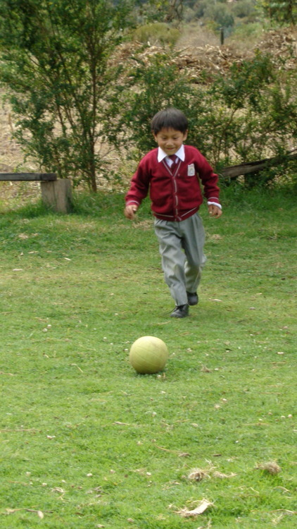
Renato the future futbolista!
I remember kicking a football around with Renato, the young boy whose family operates the rest stop and small campground in Cachiccata that we called home for two nights. We typically caught him in his neat uniform–a crimson sweater over a white collared shirt and grey pants with black shoes–and he was always more than ready to kick around with us if he wasn’t already at it.
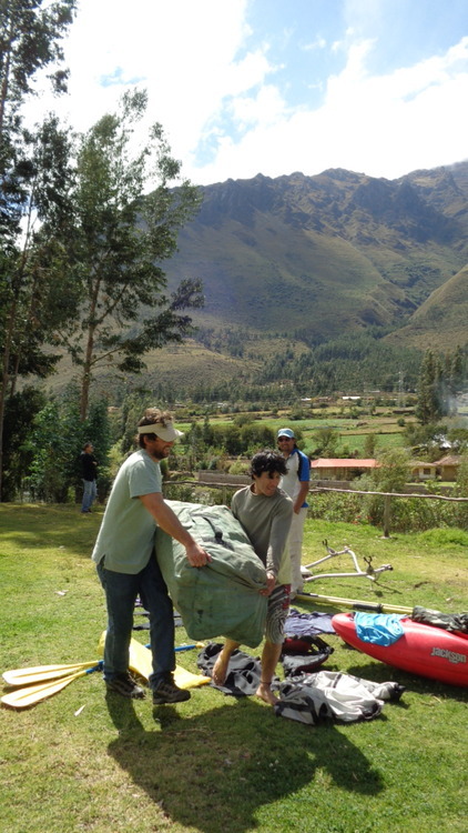
We arrived by rafting through a few class three rapids over an 8km stretch.
It was slightly harder given that the ball was mostly deflated; it made the small encampment seem like a pitch each time you kicked. I pointed this out to Renato; he immediately picked it up off the wet grass and began to blow into it pointlessly. After I pried the dirty ball from his clutch he sat down beside me on the log bench outside the rest stop. “¿De donde eres?” he looked up at me. I paused for a second, as I always do before answering the question about where I am from, debating which version he could handle. I started to say India, before I stopped myself and said Cusco. The blank expression on his cute face: sunburnt cheeks and big bright eyes, told me he probably didn’t even know where that was. I envied his naivety. He could gather that we were foreign: we didn’t look Peruvian at all, he saw our team deflate the raft as we arrived from the Wilcamayu river, we pitched tents, and our suitcases and assorted wet items were sprawled inside the rest stop. Yet he couldn’t quite place us in his world–the tiny world of his family, his community and his neighborhood.
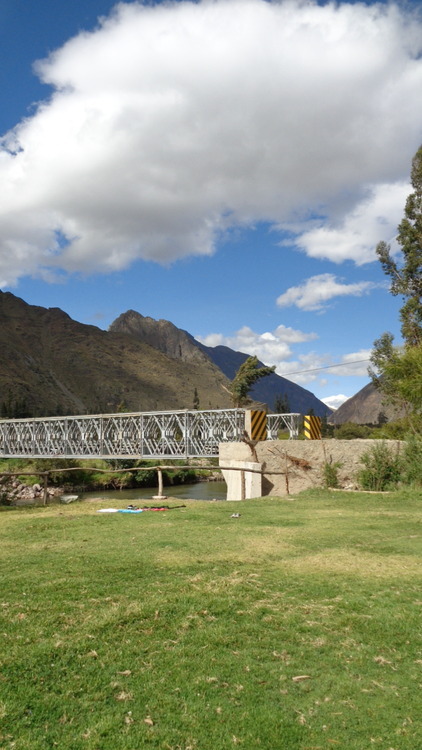
The edges of our campgroup in Cachiccata; the town is about an hour West of Cusco.
And what a neighborhood it was. The rest stop in Cachiccata sits on the banks of the Wilcamayu, which is flanked by the towering Vilcanota (Willkanuta) and Vilcabamba (Willkapampa) mountain ranges of the Andes. The Wilcamayu, meaning sacred river in Quechua, is the section of the Urubamba River that meanders through the Sacred Valley of the former Inca Empire. The occasional baying cow, crowing rooster or passing train interrupt the soothing sound of the flowing river. Drying tufts of the otherwise bluish-green mountain ranges resembled sunlit specks of gold.As the pure air blew across my face I turned to Renato’s. I envied him.
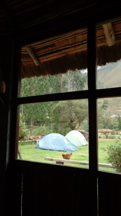
Looking out to our tents from inside the rest stop.
“Where are we going?” I yelled behind me. We were making our way up the mountain on horseback and I lead the pack. Technically my horse had to be led by the woman who brought the horses, because it wasn’t cooperating. She walked ahead of us, effortlessly, with the rope in one hand and her baby of seven months, Angelo, harnessed by a woven blanket, on her back. Occasionally she would slow down to rearrange the blanket if Angelo was getting unruly, or envelop his entire napping body in the blanket. She even brought him forward to breastfeed–continuing her steady ascent and coaxing my fussy horse through tough passages all the while. Take note, Sheryl Sandberg.
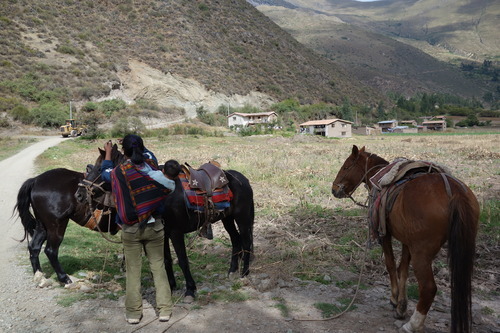
Lady and her horses.
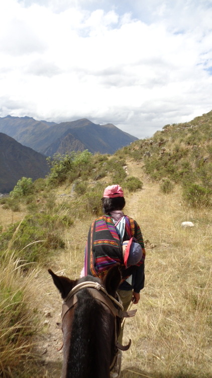
My fussy horse being led up the mountain.
We stopped and got off our horses in the least embarrassing fashion possible to hike the rest of the way to the Inca Quarry. At 3,500 to 3,800 meters above sea level, each step felt like a mountain in itself. Even if my stamina and cardio fitness were at a respectable level, the rarefied air makes it hard to keep a steady pace. If we had to do the whole climb on foot I would have never made it–my geriatric joints would have failed me within a few minutes. Most locals are acclimatized to the altitude and walking, but I, on the other hand, had to stop every few steps to catch my breath and take a sip of water. Although, moving at a glacial pace actually meant I had more time to take in the view. With 360 degrees of mountains and nobody but the three of us in sight, it was easily my favorite hike. Behind us was the Inca quarry with its massive rocks, to our left was the snow-capped mountain Veronica soaring to 5,800 meters above sea level, and below us to the right was the town of Ollantaytambo with the river flowing through the valley. We had walked to the town the day before for a short but killer hike to the Inca granary, Pinkuylluna. From up here it looked like a pendant in an Indian jewelry store.
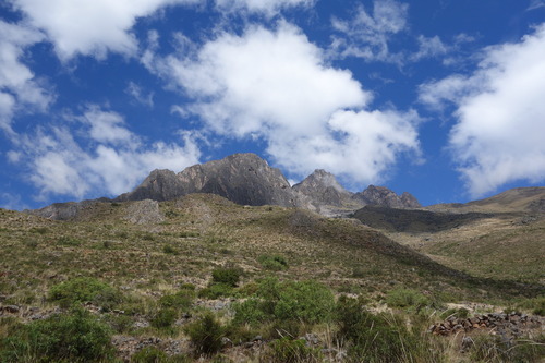
Heading up to the Inca quarry.
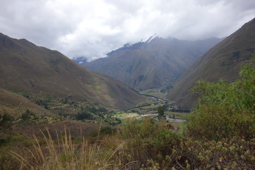
Veronica in the distance.
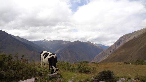
Veronica + cow.
Granary in Ollantaytambo.
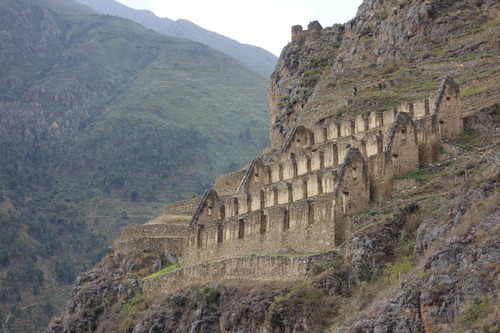
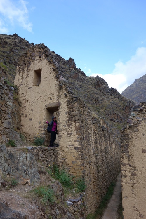
Wandering around an Inca pantry.
View of Ollantaytambo from hike. Spot the granary!
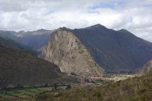
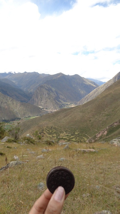
Lunch with a view.
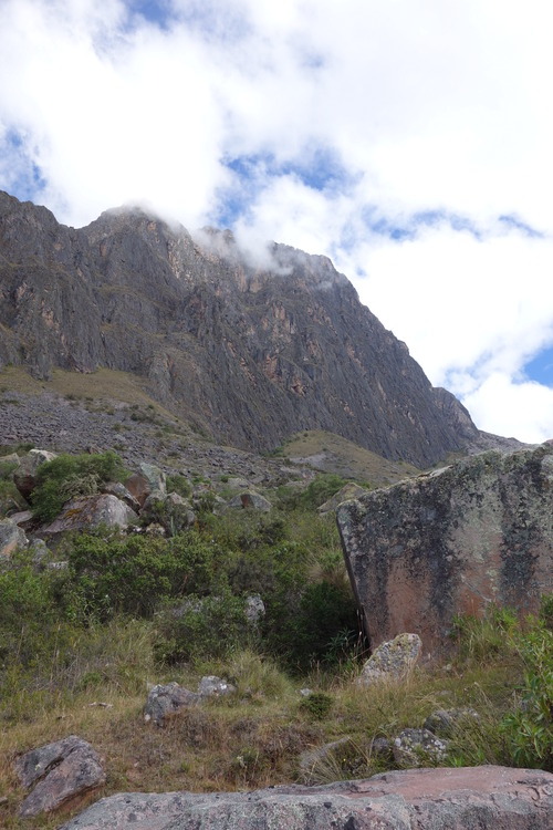
Inca Quarry on Apu Buena Negra, a geological formation home to the granite used for special Inca buildings.
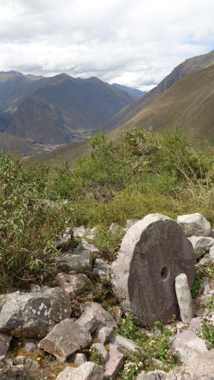
Some of the mysterious abandoned rocks shaped by the Incas.
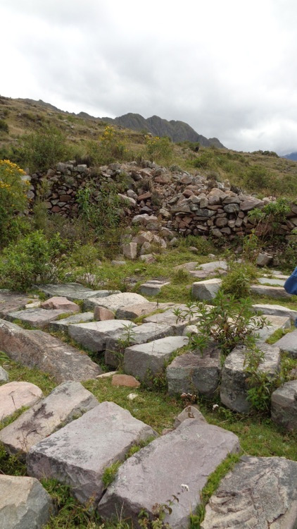
More Inca building blocks.
On the way down we took a path similar to one that a stone block from the quarry would have taken 400 years ago. Once the huge stones were split along naturally occurring faults and shaped, through a combination of techniques including the use of hematite, wood and water, they were rolled down the mountain. Then, they were transported across the river and up to building sites, like the temple, fortress or granary in Ollantaytambo. How they managed this with only elementary technology is baffling. I can’t remember how many times I asked “how?” It’s largely a mystery, further complicated by the fact that the Inca did not have a written tradition. Many of the walls, buildings and aqua ducts in are still in use or have been re-purposed. As I wandered through the narrow cobblestone streets, I tried to picture the town in its Inca heyday. I imagined the people who might have been walking hurriedly: farmers who tended the many surrounding terraces and transported food to the granary, construction workers who heaved monstrous rocks up and down the landscape, royalty in their special kancha (enclosure), clerics who maintained the temple next door and the stories and secrets between them, now lost.
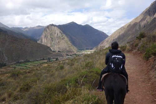
Heading back down to the town.
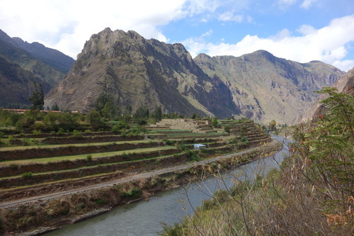
Inca terraces still in use today.
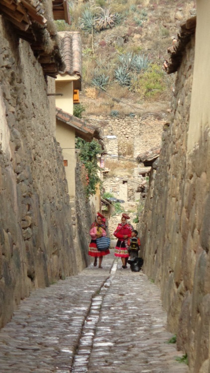
More traditionally-dressed locals making their way through the town.
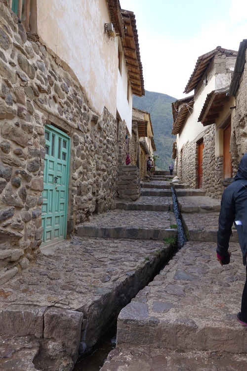
A mix of old and new construction.
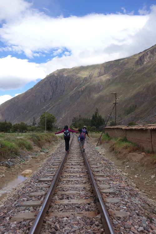
A drizzle followed us down the mountain and eventually gave way to some sun. The cool weather was perfect for the hike—it eased the burn. Our route back from Ollantaytambo took us through sleepy farms and across railroad tracks. We occasionally passed Cachiccata natives, often uniformed school kids, and our guide greeted them with “Ayanchu!” the casual Quechua hello. Otherwise, the roads and trails were mostly empty. We snuck through some farm plots—quinoa, corn, and vegetables. Dried corn stalks were piled up in anticipation of winter, when the grass cows usually graze on grows scarce. Our guide pointed to a plump gourd and picked it up, “should we take it for dinner?” he grinned. I was about to make room in my bag for the light green vegetable, knowing our cook at the camp would turn it into something amazing like he had done at every unforgettable meal so far, but realized he was only joking. Suddenly, I heard a loud “MOOOO,” from behind us. I screamed and jumped back. It was a cow in the next plot. Another great laugh at my expense. Farming definitely isn’t my thing.
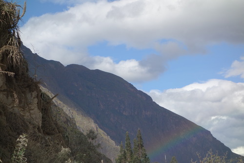
Rainbow over Ollantaytambo.
Back at camp we relaxed until dinner by chatting and drinking copious amounts of tea and playing with Renato and his little sister. I mostly drank coca tea (coca plant leaves that are the basis for cocaine) to combat altitude sickness and fatigue, and to warm up for rapidly dropping nighttime temperatures (lows near 35 degrees Fahrenheit). I hate the cold–I slept with a plastic bottle of almost boiling water close to my chest.
We were always eager to eat! The meals were so fresh and tasty. By the end of our stay we went into the kitchen to pick up our own dishes for each course, since we felt at home. We couldn’t wait to gobble up the hot soups and dig into the delicious desserts. Apumayo Expediciones, our tour company, built the rest stop and trained Cachiccata locals to operate it as part of their social responsibility agenda. Today, the family manages the encampment and restaurant independently, providing a base for Apumayo tourists in the area.
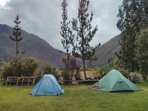
Our tents.
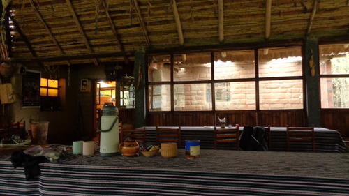
The rest stop.
On our final night we were blessed with a clear sky, exposing an array of constellations and Veronica’s powdery moonlit peak decided to grace us. It was unbelievable. It reminded me of looking up at the sky from the Masai Mara in Kenya–an even less populated, less polluted place with tons of stars. Of the 88 constellations recognized by the International Astronomical Union, 52 lie in the Southern hemisphere, and given that the South Pole faces the center of the Milky Way there are more and brighter stars. This makes Peru ideal for stargazing. During our stay at the Casa Andina hotel two nights previous, we received an introduction to the stars at their planetarium. We identified the Southern Cross, Scorpio, Leo and other constellations. A casual glance into the telescope gave us amazing views of Saturn, Mars, and the Moon’s craters, but according to trained eyes the cloudy sky made it less impressive.
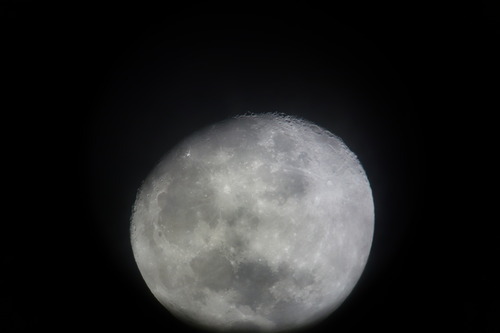
Moon seen through the telescope.

Saturn, just like in cartoons and textbooks! Through the telescope.
At the camp with clear skies however, our untrained, naked eyes had an unobstructed view of so many constellations. Too many to count. I’ll never forget the sight—like somebody dropped a duffle bag of diamonds. What a spectacular mistake.
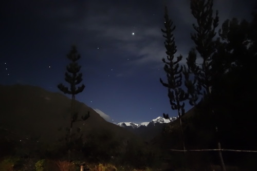
Veronica mountain from our tents, taken on my friend’s DSLR. Wish we had more powerful cameras!